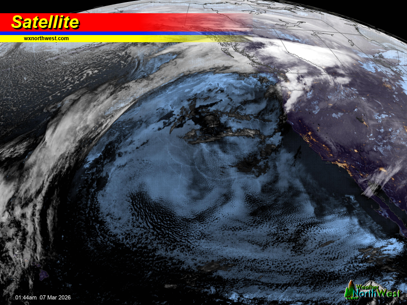
Weak high pressure builds today, keeping clouds and morning drizzle in
place before a frontal system arrives tomorrow. This system brings rain
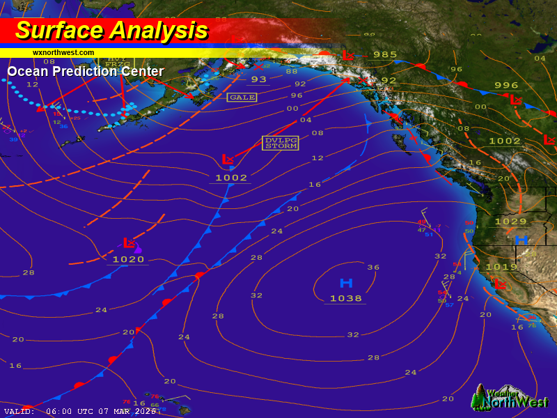
and northwesterly winds. A cold air mass wraps around a Gulf of Alaska
low, dropping south into the region late Monday into Tuesday. This shift
drops snow levels significantly, likely hovering between 1500 and 2500
feet. While valley floor accumulation remains a low probability, hills
and foothills see higher chances for wintry precipitation during the
overnight hours.
By midweek, high pressure off California interacts with the northern
low, driving a stronger system onshore. Warmer air quickly follows,
turning any low-elevation frozen precipitation back to rain. This system
carries characteristics of an atmospheric river but will generally
behave like a typical seasonal rain event without major flooding
concerns.